Research projects
Filter:
Filtered:
See also Mapping and GIS team or Geosciences
Automated lithological mapping using airborne hyperspectral remote sensing
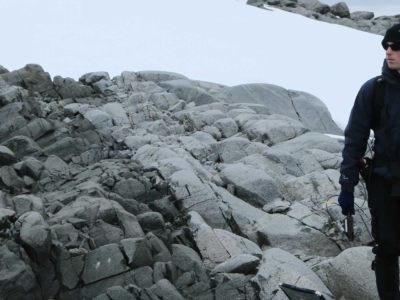
Antarctica is a unique and geographically remote environment. Field campaigns in the region encounter numerous challenges including the harsh polar climate, steep topography, and high infrastructure costs. Additionally, field campaigns …
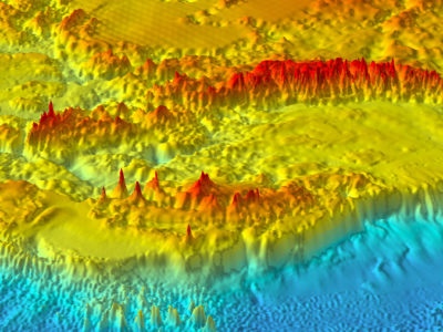
Bedmap
Bedmap is a collaborative community project with the aim to produce a new map and datasets of Antarctic ice thickness and bed topography for the international glaciology and geophysical community, …