Research projects
Filter:
Filtered:
See also Information Services team
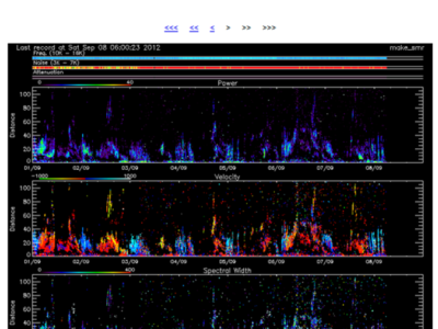
Atmospheric Data Access System
An online data access tool to discover, visualise and access atmospheric and space weather data holdings from the polar regions.
Bedmap
Bedmap is a collaborative community project with the aim to produce a new map and datasets of Antarctic ice thickness and bed topography for the international glaciology and geophysical community, …

British Antarctic Oral History Project
Capturing the reminiscences and memories of those involved in British polar science
Discovery Metadata System
A web-based system to discover polar datasets collected by UK-funded scientists
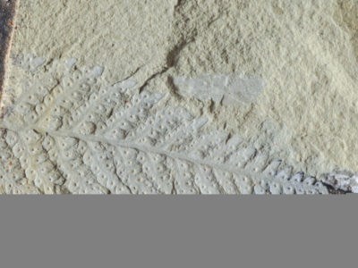
Geological Collection
Contains over 200,000 individual rock and fossil specimens collected from Antarctica and the sub-Antarctic islands and thousands of meters of sediment core from the surrounding seabed.
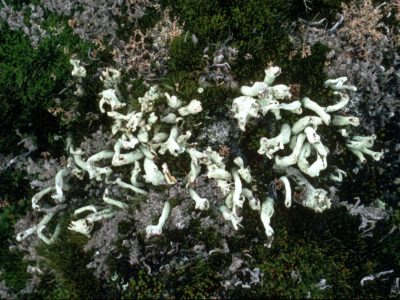
Herbarium Collection
A collection of dried plant specimens from the Antarctic, sub-Antarctic and surrounding continents.
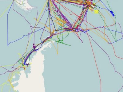
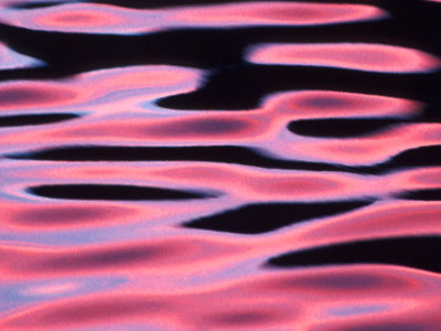
Marine Metadata Project
The Marine Metadata Project aims to enhance the availability and accessibility of BAS marine data.
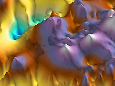
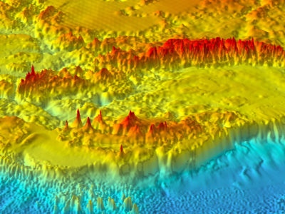
Polar Airborne Geophysics Data Portal
The NERC Airborne Geophysics Data Portal provides direct access to airborne survey data.