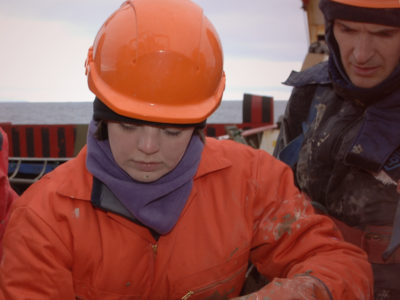
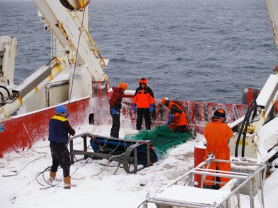
Research projects
Filter:
Filtered:
See also Business teams
60 Second Science
We’ve challenged our science, engineering and support staff and their research collaborators to explain in 60 seconds what they do. Decide for yourself if they have met the challenge well! …
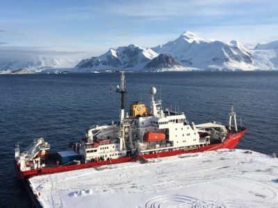
A new polar research ship for Britain: project delivery
A new research platform to put UK scientists at the forefront of polar science
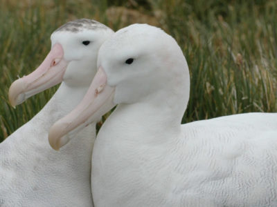
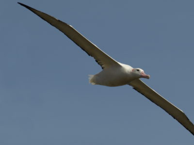
Albatrosses from Space
Great (Diomedea) albatrosses face multiple threats to their long-term survival. Declines in albatross populations have been linked to incidental mortality (bycatch) in fisheries, predatory invasive species (including rats, mice and …
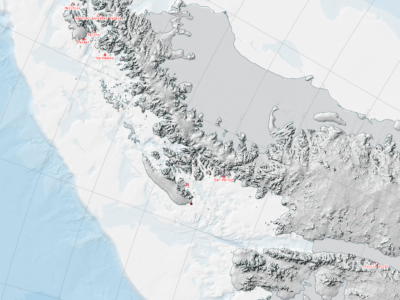
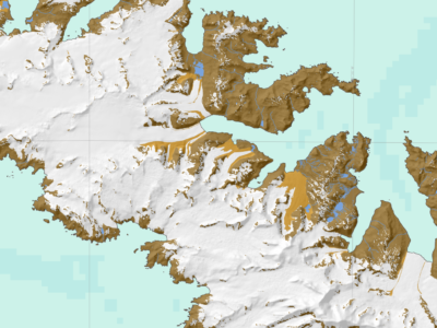
Antarctic Digital Database
The SCAR ADD is a seamless compilation of topographic data for Antarctica to 60°S. It is the place to go to get data such as Antarctic coastline or contours for working in desktop GIS.
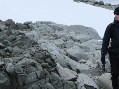
Automated lithological mapping using airborne hyperspectral remote sensing
Antarctica is a unique and geographically remote environment. Field campaigns in the region encounter numerous challenges including the harsh polar climate, steep topography, and high infrastructure costs. Additionally, field campaigns …
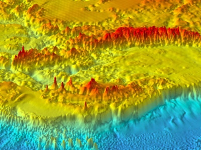
Bedmap
Bedmap is a collaborative community project with the aim to produce a new map and datasets of Antarctic ice thickness and bed topography for the international glaciology and geophysical community, …
Bedmap2
understanding whats beneath the ice, opens new opportunities for detailed modelling of the past and future evolution of the Antarctic ice sheets
Bedmap3
Bedmap3 is a collaborative community project with the aim to produce a new map and datasets of Antarctic ice thickness and bed topography for the international glaciology and geophysical community, …

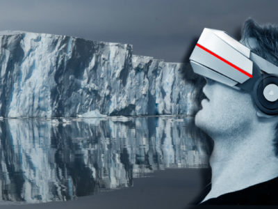
Data As Art
DATA AS ART is an ongoing science & art project in development at NERC’s British Antarctic Survey (BAS). It visualises science data (in its widest definition), to create stunning and …
Data as Art: POLAR AESTHETICS
British Antarctic Survey has an ongoing science & art collaboration with Royal College of Art PhD candidate Wayne Binitie. Wayne has visited BAS a number of times to develop his …
Diversity in UK Polar Science – Steering Group
Enhancing diversity, equality and inclusion in UK Polar science
EC Copernicus Marine Environment Monitoring Service
The Copernicus marine environment monitoring service provides regular and systematic reference information on the state of the physical oceans and regional seas. The observations and forecasts produced by the service …

Higher Predators – Long-Term Science
The British Antarctic Survey carries out Long Term Science that measures changes in Antarctic ecosystems and seeks to understand the underlying drivers and processes. Marine predators are sensitive to changes …
Polar Thematic Exploitation Platform
A Polar Thematic Exploitation Platform (Polar TEP) is being developed for the European Space Agency (ESA). Polar TEP will provide polar researchers with access to computing resources, earth observation (EO) …
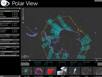
Polar View
Polar View delivers information about sea ice direct to ships operating in the Southern Ocean.
Rothera Research Station Modernisation
Over the next decade Rothera Research Station will be upgraded to ensure its facilities keep the UK at the forefront of climate, biodiversity and ocean research.
South Georgia GIS
Visualise and download topographic, management and scientific data for South Georgia.
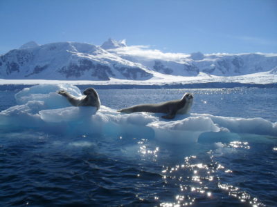
Wildlife from Space
Many populations of wildlife are remote, inaccessible or difficult to monitor. The advent of sub-metre, Very-High-Resolution (VHR) satellite imagery may enable us study these animals in a much more efficient …