Remote sensing techniques provide observations of the physical environment from instruments mounted on aircraft or satellites. Given the large extent, remote nature and harsh environment in which BAS operates, remote sensing provides data that would not be obtainable using ground based methods. Remote sensing methods, in particular those from space offer the following advantages.
- They provide global information in regional detail.
- They are repetitive and of uniform quality, allowing temporal patterns, including trends, to be discriminated.
- They give near simultaneous measurements of many different parameters.
- They can be delivered in near real time (within a few hours if required), allowing assimilation into operational environmental models.
The BAS science and logistics programmes use remote sensing data for a wide range of observations and applications. Some examples include measurements of upper atmosphere chemistry, sea ice parameters, ocean surface temperature and chlorophyll concentration, ice sheet velocity and for topographic mapping.
BAS operates several remote-sensing instruments from its own aircraft including the air camera and airborne geophysics. BAS is also beginning to use UAV platforms to carry instruments to investigate the physics of sea-ice formation.
Space-based observations are delivered by an increasing number of Earth observation (EO) satellites operated by space agencies and commercial satellite operators. The European Space Agency (ESA), EUMETSAT and NASA are principal sources of EO data for BAS scientists. The NERC EO programme is responsible for establishing UK priorities for new ESA satellite missions and developing new techniques for exploiting Earth observation data. BAS plays a full part in this programme to ensure best use of EO data in its programme.
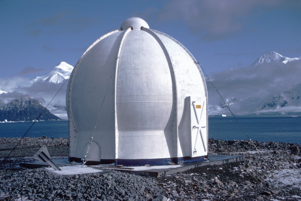
BAS also operates a satellite receiving station at the Rothera station. This acquires daily AVHRR imagery, which is used in a range of science applications and for operational weather forecasting to support air and field operations.

