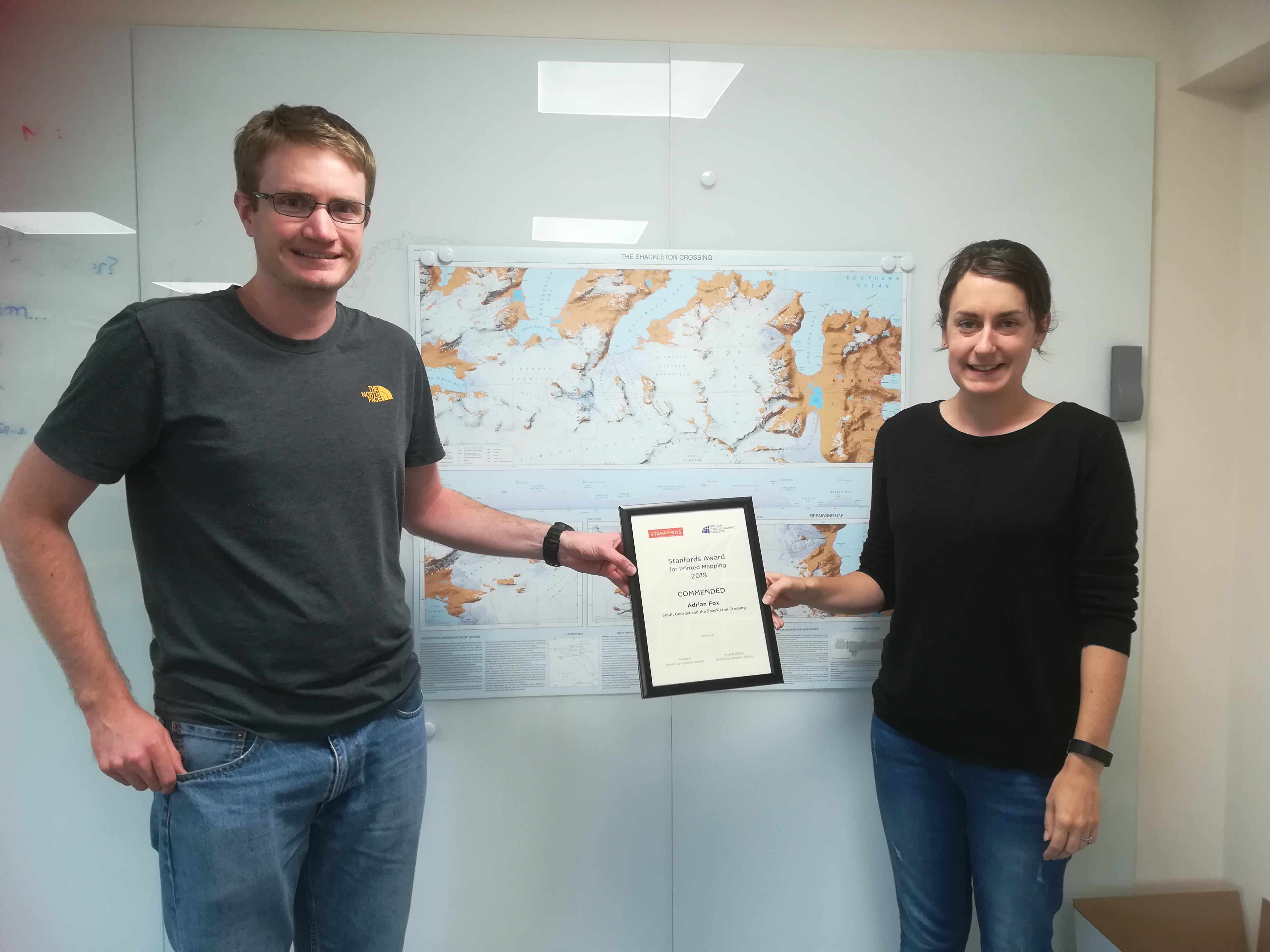
New map of South Georgia wins award
British Antarctic Survey’s detailed map of the sub-Antarctic island of South Georgia featuring the epic “Shackleton Crossing” has won an award at the 2018 British Cartography Society Awards.
The map, created by Nathan Fenney and Laura Gerrish from the Mapping and Geographic Information Centre at British Antarctic Survey (BAS), contains new features including previously uncharted bays and lakes created by recent glacier retreat. It was commended for the ‘Stanfords Award’ which is open for any mapping in the printed form, this includes posters, folded sheet maps, atlases or pages from a book.
The high resolution map of the Shackleton Crossing shows the route across South Georgia taken by the great explorer and two colleagues in 1916 after the 16-day sea crossing from Elephant Island and without any specialist mountaineering equipment. Against the odds, Shackleton’s team successfully reached Stromness and sought help for the remaining crew members deserted on King Haakon Bay and Elephant Island. Today, the Shackleton Crossing is popular for mountaineers wishing to follow in the path of the great explorer’s expedition.
Laura Gerrish, GIS & Mapping Specialist at BAS, says
“This map is special because it tells an incredible story. It was an honour to receive this award at the British Cartographic Society Awards Dinner in London. We were up against strong competition with many entries from National Geographic and other international organisations, and it means a lot for this map to be recognised.”

The South Georgia and The Shackleton Crossing map is available for sale at several outlets including Stanfords map store in London (www.stanfords.co.uk, email: sales@stanfords.co.uk), the UK Antarctic Heritage Trust (www.ukaht.org/shop, email: sales@ukaht.org) and the post office on South Georgia. In addition, much of the map data is freely available to download from the South Georgia GIS and can be found here: www.sggis.gov.gs
Find out more about the creation of the map here.
Notes
The South Georgia and Shackleton Crossing map was produced in collaboration with the expedition and advisory panel at the Government of South Georgia and South Sandwich Islands (GSGSSI), who frequently advise visitors on routes across the island.