Maps
Whether you are a scientist working in the field or just visiting the Antarctic continent it is more than likely you will need maps.
Our new Map Catalogue details our most current maps available for sale, as well as further open access maps. Some of the older or more specialist maps available for sale can be found on the pages below and in the older pdf map catalogue linked on this page.
In the UK we take the availability of maps for granted — if you need a new map you go out and buy one. However, in the Antarctic, things are not so easy. Often one of the first things that must be done when starting a science project is to produce the map or to bring an existing map up to date. This is the role of the BAS Mapping and Geographic Information Centre (MAGIC).
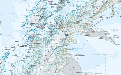
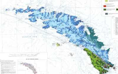
British Antarctic Survey has a selection of maps for sale ranging from overview maps of Antarctica, the Arctic and the Antarctic Peninsula through to more detailed maps of regions of specific interest. Our maps have won awards for excellence in cartography from the British Cartographic Society and our portfolio is always increasing.

