ARCTIC BLOG: Hot water drilling on Petermann Glacier
24 August, 2015
Standing anywhere on Petermann ice shelf, the overriding sense you get is the proximity of water. A lot of water.

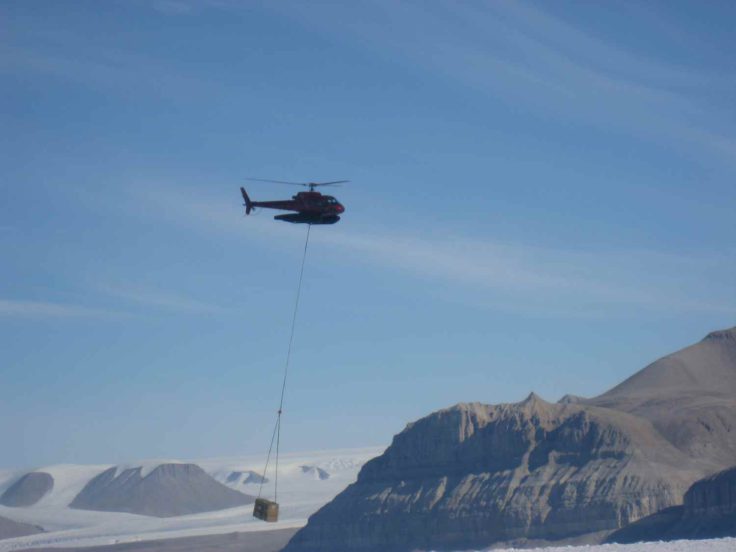
Standing water, ranging from small ponds, up to lakes hundreds metres across, and flowing water, from trickling streams, through uncrossable torrents raging in ten-metre deep canyons, to languidly-flowing rivers. There’s a constant background sound of water on the move. This is high summer, and the surface of the ice shelf, the portion of Petermann Glacier that floats on the ocean in Petermann Fjord, is busily melting. The summer melting carves the ice surface into an alien hummocky mass. Finding places to camp and set up the hot water drill has been a challenge – we need sites reasonably flat and near to a ready supply of water, but ones that also serve our science purposes. We’ve just completed our second site, and are about to move to our third, a move that will require about fourteen helicopter loads to carry all the equipment the ten miles or so to the next location.

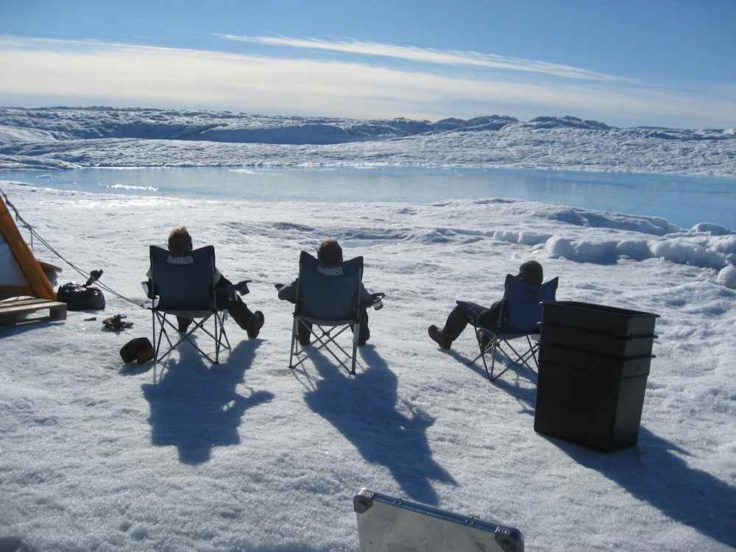
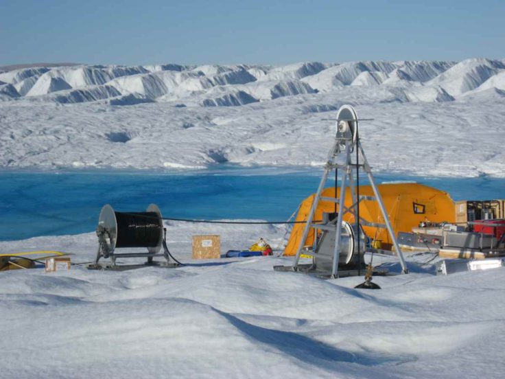
We need a plentiful supply of water for drilling, and that requirement has meant that the sites we have selected are truly spectacular. The first was nestled beside a broad meltwater river, with the 4000-foot high buttressed cliffs of the fjord walls clearly visible on either side of the ice shelf. The second site is even more special. We’re camped on an ice beach leading down to a large lake that’s fed by fast-flowing streams. The remains of massive crevassing rear up forbiddingly on the far side of the lake. We’ll be sorry to leave this place.

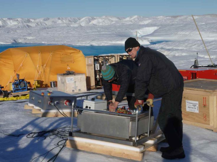
The drill consists of a lot of heavy equipment – we use it to make a hole through the few hundreds of metres of ice to gain access to the sea beneath so that we can attempt to recover sediment cores from the sea floor, make oceanographic measurements, and install oceanographic instruments that will record data for the months, and possibly years to come. The instruments will never be recovered, but send their valuable data through connecting cables to the ice surface, where a data logger transmits them back via satellite link.

It’s now August, and the melting season is drawing to a close. Satellite images from earlier in the year showed that the meltwater lakes were even more extensive, so we’re hoping that our data loggers won’t find themselves afloat next June.